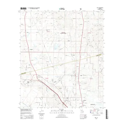
2015 Map of Ball
USGS Topo · Published 2015About this map
The boundary between Grant Parish and Rapides Parish bisects this Louisiana landscape, where the northern reaches are defined by the Kisatchie National Forest. A network of bayous and creeks, including Flagon Bayou, Kitchen Cr, and Dry Prong, shapes the terrain around the settlements of Ball, Tioga, and Paradise. The presence of the Pollock Municipal Airport and the sprawling residential developments of Timber Trails and Creola indicate the suburban growth extending north from Pineville.
Find a feature on this map
124 named features on this map. Tap any name to fly to it.
Don’t see what you’re looking for? This feature index may not catch every label — zoom into the map to look around manually.
Map Details
Editions of this 2015 Ball Map
This is the sole edition of this map. No revisions or reprints were ever made.
Other maps of this area
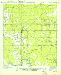
1932 · Boyce NE
USGS Topo · 1:31,680
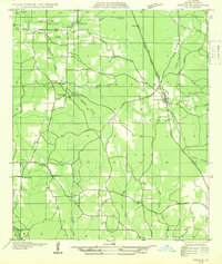
1932 · Colfax SE
USGS Topo · 1:31,680
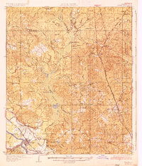
1936 · Colfax
USGS Topo · 1:62,500
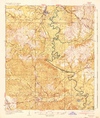
1936 · Pollock
USGS Topo · 1:62,500
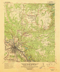
1941 · Alexandria
USGS Topo · 1:62,500
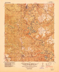
1941 · Pollock
USGS Topo · 1:62,500
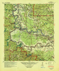
1941 · Boyce
USGS Topo · 1:62,500
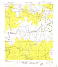
1945 · Boyce SE
USGS Topo · 1:31,680
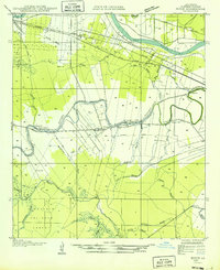
1949 · Boyce SE
USGS Topo · 1:31,680

1953 · Alexandria
USGS Topo · 1:250,000