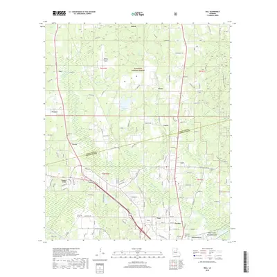
2018 Map of Ball
USGS Topo · Published 2018About this map
The Kisatchie National Forest dominates the northern landscape of this region where Grant Parish and Rapides Parish meet. A corridor of development follows the rail and highway lines south through Pollock, Simms, Nugent, and Ball, eventually reaching the outskirts of Pineville. This transportation spine is historically significant, linking these central Louisiana timber and airfield zones to the larger urban hubs.
Find a feature on this map
79 named features on this map. Tap any name to fly to it.
Don’t see what you’re looking for? This feature index may not catch every label — zoom into the map to look around manually.
Map Details
Editions of this 2018 Ball Map
This is the sole edition of this map. No revisions or reprints were ever made.
Other maps of this area

1932 · Boyce NE
USGS Topo · 1:31,680

1932 · Colfax SE
USGS Topo · 1:31,680

1936 · Colfax
USGS Topo · 1:62,500

1936 · Pollock
USGS Topo · 1:62,500

1941 · Alexandria
USGS Topo · 1:62,500

1941 · Pollock
USGS Topo · 1:62,500

1941 · Boyce
USGS Topo · 1:62,500

1945 · Boyce SE
USGS Topo · 1:31,680

1949 · Boyce SE
USGS Topo · 1:31,680

1953 · Alexandria
USGS Topo · 1:250,000