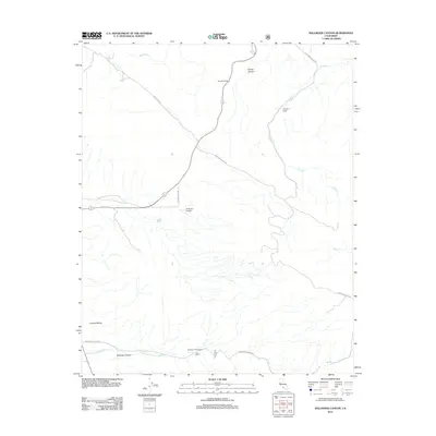
2012 Map of Ballinger Canyon
USGS Topo · Published 2012About this map
Cuyama Valley and the dry-wash drainages of Kern County define this 2012 topographic record. The landscape is marked by the complex topography of Sunset Canyon and the winding Ballinger Canyon Wash, which flows through Ballinger Canyon near the southern boundary. Human presence in this arid environment is concentrated around family-named landmarks and infrastructure such as Klipstein Ranch and the 7R Ranch Airport, which sits along Stubblefield Rd.
Find a feature on this map
16 named features on this map. Tap any name to fly to it.
Don’t see what you’re looking for? This feature index may not catch every label — zoom into the map to look around manually.
Map Details
Editions of this 2012 Ballinger Canyon Map
This is the sole edition of this map. No revisions or reprints were ever made.
Other maps of this area

1902 · Santa Ynez
USGS Topo · 1:125,000

1903 · Mt. Pinos
USGS Topo · 1:125,000

1905 · Santa Ynez
USGS Topo · 1:125,000

1910 · Buena Vista Lake
USGS Topo · 1:125,000

1912 · McKittrick
USGS Topo · 1:125,000

1912 · Buena Vista Lake
USGS Topo · 1:125,000

1931 · Pentland Junction
USGS Topo · 1:31,680

1934 · Pentland
USGS Topo · 1:31,680

1942 · Ballinger Canyon
USGS Topo · 1:24,000

1942 · East of Cuyama Ranch
USGS Topo · 1:24,000