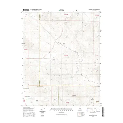
2015 Map of Ballinger Canyon
USGS Topo · Published 2015About this map
The San Andreas Fault cuts a distinctive diagonal path through this arid high-country landscape, marking the geologically active transition between the Caliente Range and the San Emigdio Mountains. In the southern portion of the sheet, the Los Padres National Forest protects the complex drainage systems of Ballinger Canyon and the Ballinger Canyon Wash. This 2015 survey reveals a terrain defined by water scarcity and rugged topography, where human activity is limited to remote outposts like the 7R Ranch Airport and historical transit corridors. Notable landmarks like Grocer Grade and the Old Traveled Way suggest the difficult routes required to navigate the canyons and gulches, while the convergence of Kern, San Luis Obispo, Santa Barbara, and Ventura counties highlights the area's significance as a tri-county (and beyond) borderland.
Find a feature on this map
34 named features on this map. Tap any name to fly to it.
Don’t see what you’re looking for? This feature index may not catch every label — zoom into the map to look around manually.
Map Details
Editions of this 2015 Ballinger Canyon Map
This is the sole edition of this map. No revisions or reprints were ever made.
Other maps of this area

1902 · Santa Ynez
USGS Topo · 1:125,000

1903 · Mt. Pinos
USGS Topo · 1:125,000

1905 · Santa Ynez
USGS Topo · 1:125,000

1910 · Buena Vista Lake
USGS Topo · 1:125,000

1912 · McKittrick
USGS Topo · 1:125,000

1912 · Buena Vista Lake
USGS Topo · 1:125,000

1931 · Pentland Junction
USGS Topo · 1:31,680

1934 · Pentland
USGS Topo · 1:31,680

1942 · Ballinger Canyon
USGS Topo · 1:24,000

1942 · East of Cuyama Ranch
USGS Topo · 1:24,000