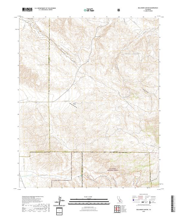
2022 Map of Ballinger Canyon
USGS Topo · Published 2022About this map
The Bitter Creek National Wildlife Refuge and Los Padres National Forest converge at this high-altitude junction of the Caliente Range and the San Emigdio Mountains. This landscape is defined by its complex network of canyons and gulches, including Devils Gulch and Cienaga Canyon, which drain the mountainous terrain. The map details a transition from the elevated ranges into the Cuyama Valley, revealing how transportation and conservation boundaries are dictated by the underlying topography.
Find a feature on this map
43 named features on this map. Tap any name to fly to it.
Don’t see what you’re looking for? This feature index may not catch every label — zoom into the map to look around manually.
Map Details
Editions of this 2022 Ballinger Canyon Map
This is the sole edition of this map. No revisions or reprints were ever made.
Other maps of this area

1902 · Santa Ynez
USGS Topo · 1:125,000

1903 · Mt. Pinos
USGS Topo · 1:125,000

1905 · Santa Ynez
USGS Topo · 1:125,000

1910 · Buena Vista Lake
USGS Topo · 1:125,000

1912 · McKittrick
USGS Topo · 1:125,000

1912 · Buena Vista Lake
USGS Topo · 1:125,000

1931 · Pentland Junction
USGS Topo · 1:31,680

1934 · Pentland
USGS Topo · 1:31,680

1942 · Ballinger Canyon
USGS Topo · 1:24,000

1942 · East of Cuyama Ranch
USGS Topo · 1:24,000