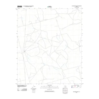
2010 Map of Ballinger Ranch
USGS Topo · Published 2010About this map
Ballinger Ranch and Shafer Ranch anchor this West Texas landscape in Glasscock County, illustrating the enduring cattle-ranching heritage of the region into the twenty-first century. The terrain is defined by a dendritic drainage pattern where Polecat Creek and the various branches of Apple Creek carve through the high plains. A sparse but functional network of rural infrastructure, including Farm Rd 33 and Sherrod Rd, connects these remote outposts. The map reveals the intricate water system of the West Fork Apple Creek and Middle Fork Apple Creek, which are critical lifelines in this arid environment. This survey captures a moment of modern continuity for these large landholdings, preserving the spatial relationship between isolated homesteads and the natural waterways that dictate the layout of the local roads.
Find a feature on this map
12 named features on this map. Tap any name to fly to it.
Don’t see what you’re looking for? This feature index may not catch every label — zoom into the map to look around manually.
Map Details
Editions of this 2010 Ballinger Ranch Map
This is the sole edition of this map. No revisions or reprints were ever made.
Other maps of this area

1941 · Morita
USGS Topo · 1:62,500

1941 · Big Spring South
USGS Topo · 1:62,500

1942 · Big Spring South
USGS Topo · 1:62,500

1949 · Morita
USGS Topo · 1:62,500

1954 · Big Spring
USGS Topo · 1:250,000

1954 · San Angelo
USGS Topo · 1:250,000

1958 · San Angelo
USGS Topo · 1:250,000

1958 · Big Spring
USGS Topo · 1:250,000

1963 · Ballinger Ranch
USGS Topo · 1:24,000

1963 · Currie Reservoir
USGS Topo · 1:24,000