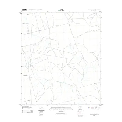
2012 Map of Ballinger Ranch
USGS Topo · Published 2012About this map
Ballinger Ranch and Shafer Ranch anchor this landscape in Glasscock County, illustrating the enduring cattle and land-management traditions of West Texas. The terrain is defined by a dendritic network of ephemeral drainage ways, including Polecat Cr and various branches of the Apple Creek system, such as W Fork Apple Cr and Middle Fork Apple Cr. This drainage pattern shapes the placement of local infrastructure, where long-established paths like Ditto Rd and Sherrod Rd navigate the dry creek beds and low rises.
Find a feature on this map
20 named features on this map. Tap any name to fly to it.
Don’t see what you’re looking for? This feature index may not catch every label — zoom into the map to look around manually.
Map Details
Editions of this 2012 Ballinger Ranch Map
This is the sole edition of this map. No revisions or reprints were ever made.
Other maps of this area

1941 · Morita
USGS Topo · 1:62,500

1941 · Big Spring South
USGS Topo · 1:62,500

1942 · Big Spring South
USGS Topo · 1:62,500

1949 · Morita
USGS Topo · 1:62,500

1954 · Big Spring
USGS Topo · 1:250,000

1954 · San Angelo
USGS Topo · 1:250,000

1958 · San Angelo
USGS Topo · 1:250,000

1958 · Big Spring
USGS Topo · 1:250,000

1963 · Ballinger Ranch
USGS Topo · 1:24,000

1963 · Currie Reservoir
USGS Topo · 1:24,000