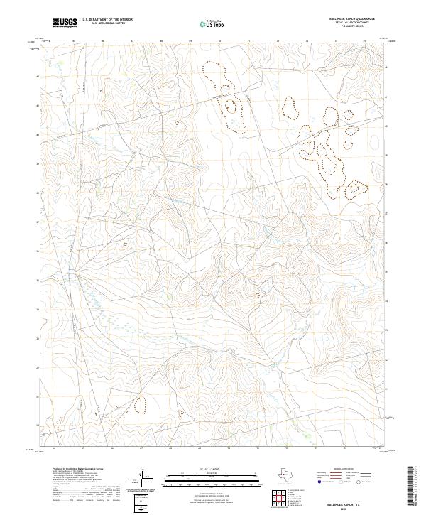
2022 Map of Ballinger Ranch
USGS Topo · Published 2022About this map
The drainage system of the Middle Fork Apple Cr and W Fork Apple Cr characterizes this portion of Glasscock County, where intermittent waterways carve a distinct pattern through the West Texas landscape. The convergence of these forks into Apple Cr creates a significant topographical focus in an area defined by its ranching infrastructure and rural accessibility. Connectivity across the rangeland is maintained through a network of established routes, most notably Ranch Rd 33, which serves as a primary corridor through the quadrangle. Local land use is further evidenced by secondary thoroughfares like Sherrod Rd and Ditto Rd, names that reflect the family-led settlement and naming traditions common to the Llano Estacado region. This modern topographic record shows the persistent reliance on natural watercourses and a sparse, resilient road network in managing the arid terrain.
Find a feature on this map
11 named features on this map. Tap any name to fly to it.
Don’t see what you’re looking for? This feature index may not catch every label — zoom into the map to look around manually.
Map Details
Editions of this 2022 Ballinger Ranch Map
This is the sole edition of this map. No revisions or reprints were ever made.
Other maps of this area

1941 · Morita
USGS Topo · 1:62,500

1941 · Big Spring South
USGS Topo · 1:62,500

1942 · Big Spring South
USGS Topo · 1:62,500

1949 · Morita
USGS Topo · 1:62,500

1954 · Big Spring
USGS Topo · 1:250,000

1954 · San Angelo
USGS Topo · 1:250,000

1958 · San Angelo
USGS Topo · 1:250,000

1958 · Big Spring
USGS Topo · 1:250,000

1963 · Ballinger Ranch
USGS Topo · 1:24,000

1963 · Currie Reservoir
USGS Topo · 1:24,000