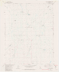
1982 Map of Balloon Dome
USGS Topo · Published 1982About this map
Balloon Dome and Brown Cone anchor this high-elevation landscape within the Sierra National Forest during the early 1980s. The map illustrates a complex network of glacial meadows and alpine hydrology where the San Joaquin River meets the South Fork San Joaquin River. Established human presence is concentrated at the Heitz Meadow Forest Service Station and various remote campsites, reflecting the area's role as a managed wilderness corridor.
Find a feature on this map
28 named features on this map. Tap any name to fly to it.
Don’t see what you’re looking for? This feature index may not catch every label — zoom into the map to look around manually.
Map Details
Editions of this 1982 Balloon Dome Map
2 editions found
Other maps of this area

1901 · Mt. Lyell
USGS Topo · 1:125,000

1904 · Kaiser
USGS Topo · 1:125,000

1947 · Mariposa
USGS Topo · 1:250,000

1948 · Mariposa
USGS Topo · 1:250,000

1953 · Merced Peak
USGS Topo · 1:62,500

1953 · Devils Postpile
USGS Topo · 1:62,500

1953 · Shuteye Peak
USGS Topo · 1:62,500

1953 · Kaiser Peak
USGS Topo · 1:62,500

1957 · Mariposa
USGS Topo · 1:250,000

1963 · Mariposa
USGS Topo · 1:250,000