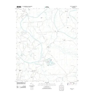
2011 Map of Ballplay
USGS Topo · Published 2011About this map
The Coosa River meanders through this section of Alabama, creating prominent geographic features like Ballplay Bend and Coats Bend. This 2011 survey documents a rural landscape shaped by long-standing agricultural crossroads and river-dependent recreation. Small communities such as Murrycross, Ballplay, and Mayes Crossroads anchor the road network, while the river provides a base for the Mountain View Fish Camp.
Find a feature on this map
117 named features on this map. Tap any name to fly to it.
Don’t see what you’re looking for? This feature index may not catch every label — zoom into the map to look around manually.
Map Details
Editions of this 2011 Ballplay Map
This is the sole edition of this map. No revisions or reprints were ever made.
Other maps of this area

1893 · Fort Payne
USGS Topo · 1:125,000

1898 · Fort Payne
USGS Topo · 1:125,000

1900 · Fort Payne
USGS Topo · 1:125,000

1900 · Anniston
USGS Topo · 1:125,000

1936 · Roden Gap
USGS Topo · 1:24,000

1947 · Colvin Gap
USGS Topo · 1:24,000

1947 · Glencoe
USGS Topo · 1:24,000

1947 · Jacksonville
USGS Topo · 1:62,500

1953 · Atlanta
USGS Topo · 1:250,000

1955 · Rome
USGS Topo · 1:250,000