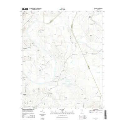
2014 Map of Ballplay
USGS Topo · Published 2014About this map
The Coosa River defines the landscape of this region, twisting through significant meanders at Ballplay Bend, Pollard Bend, and Coats Bend along the Etowah and Cherokee County border. This 2014 survey captures a rural stretch of Alabama where family-named landmarks and country churches anchor small communities like Murrycross and Mayes Crossroad. Genealogists will find several burial grounds across the quadrangle, including Smith Chapel Cem near Maple Grove and Bachelors Chapel in the southwest. The terrain is notably marked by the ridge-and-valley profile of Shinbone Ridge and Owl Hollow. Water management is evident in the chain of reservoirs including Thornton Number 1 Lake through Thornton Number 6 Lake, illustrating the sophisticated local irrigation or drainage systems in place near the Ballplay settlement.
Find a feature on this map
115 named features on this map. Tap any name to fly to it.
Don’t see what you’re looking for? This feature index may not catch every label — zoom into the map to look around manually.
Map Details
Editions of this 2014 Ballplay Map
This is the sole edition of this map. No revisions or reprints were ever made.
Other maps of this area

1893 · Fort Payne
USGS Topo · 1:125,000

1898 · Fort Payne
USGS Topo · 1:125,000

1900 · Fort Payne
USGS Topo · 1:125,000

1900 · Anniston
USGS Topo · 1:125,000

1936 · Roden Gap
USGS Topo · 1:24,000

1947 · Colvin Gap
USGS Topo · 1:24,000

1947 · Glencoe
USGS Topo · 1:24,000

1947 · Jacksonville
USGS Topo · 1:62,500

1953 · Atlanta
USGS Topo · 1:250,000

1955 · Rome
USGS Topo · 1:250,000