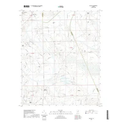
2018 Map of Ballplay
USGS Topo · Published 2018About this map
Hokes Bluff and the surrounding Etowah County countryside are defined by the winding course of the Coosa River as it creates prominent land features like Ballplay Bend and Coats Bend. The landscape transitions from the elevations of Shinbone Ridge and Owl Hollow in the northwest to a dense network of managed water bodies further south, including Thornton Number 1 Lake through Thornton Number 6 Lake. These reservoirs and the marshy areas around Ballplay Cr illustrate the complex hydrology of the region north of Maple Grove.
Find a feature on this map
92 named features on this map. Tap any name to fly to it.
Don’t see what you’re looking for? This feature index may not catch every label — zoom into the map to look around manually.
Map Details
Editions of this 2018 Ballplay Map
This is the sole edition of this map. No revisions or reprints were ever made.
Other maps of this area

1893 · Fort Payne
USGS Topo · 1:125,000

1898 · Fort Payne
USGS Topo · 1:125,000

1900 · Fort Payne
USGS Topo · 1:125,000

1900 · Anniston
USGS Topo · 1:125,000

1936 · Roden Gap
USGS Topo · 1:24,000

1947 · Colvin Gap
USGS Topo · 1:24,000

1947 · Glencoe
USGS Topo · 1:24,000

1947 · Jacksonville
USGS Topo · 1:62,500

1953 · Atlanta
USGS Topo · 1:250,000

1955 · Rome
USGS Topo · 1:250,000