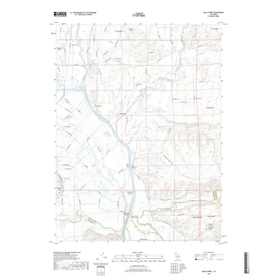
2018 Map of Balls Ferry
USGS Topo · Published 2018About this map
The Sacramento River carves a central path through this portion of Shasta and Tehama Counties, creating a complex hydrologic landscape defined by seasonal creeks and riverine islands. This area is anchored by the historic crossing at Balls Ferry, where the Balls Ferry Bridge spans the water near Rancherie Island and Reading Island. To the south, the confluence with Battle Creek near Bloody Island marks a significant geographical transition point in the valley.
Find a feature on this map
88 named features on this map. Tap any name to fly to it.
Don’t see what you’re looking for? This feature index may not catch every label — zoom into the map to look around manually.
Map Details
Editions of this 2018 Balls Ferry Map
This is the sole edition of this map. No revisions or reprints were ever made.
Other maps of this area

1890 · Red Bluff
USGS Topo · 1:250,000

1894 · Red Bluff
USGS Topo · 1:250,000

1901 · Redding
USGS Topo · 1:125,000

1944 · Redding
USGS Topo · 1:62,500

1944 · Tuscan Buttes
USGS Topo · 1:62,500

1946 · Redding
USGS Topo · 1:62,500

1947 · Tuscan Buttes
USGS Topo · 1:62,500

1947 · Anderson
USGS Topo · 1:62,500

1948 · Anderson
USGS Topo · 1:62,500

1953 · Millville
USGS Topo · 1:62,500