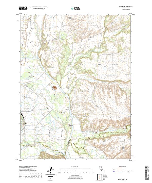
2021 Map of Balls Ferry
USGS Topo · Published 2021About this map
The Sacramento River carves through this northern California landscape, defining a complex network of waterways and islands south of the Millville Plains. This 2021 survey documents the intricate hydrologic pattern where Battle Creek, Cottonwood Creek, and Ash Creek converge with the main river channel. Local history and genealogy are anchored by the Parkville Cem and the settlement at Balls Ferry, while the presence of the Anderson Cottonwood Canal illustrates the long-standing agricultural water management systems of the region.
Find a feature on this map
88 named features on this map. Tap any name to fly to it.
Don’t see what you’re looking for? This feature index may not catch every label — zoom into the map to look around manually.
Map Details
Editions of this 2021 Balls Ferry Map
This is the sole edition of this map. No revisions or reprints were ever made.
Other maps of this area

1890 · Red Bluff
USGS Topo · 1:250,000

1894 · Red Bluff
USGS Topo · 1:250,000

1901 · Redding
USGS Topo · 1:125,000

1944 · Redding
USGS Topo · 1:62,500

1944 · Tuscan Buttes
USGS Topo · 1:62,500

1946 · Redding
USGS Topo · 1:62,500

1947 · Tuscan Buttes
USGS Topo · 1:62,500

1947 · Anderson
USGS Topo · 1:62,500

1948 · Anderson
USGS Topo · 1:62,500

1953 · Millville
USGS Topo · 1:62,500