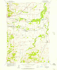
1956 Map of Ballston
USGS Topo · Published 1957About this map
The agricultural landscape of the Willamette Valley’s western edge is defined here by the winding course of the South Yamhill River and its numerous tributaries. In the mid-1950s, the small communities of Ballston, Bellevue, and Perrydale serve as local hubs for the surrounding farms, connected by the tracks of the Southern Pacific railroad. The map reveals a deeply rooted rural infrastructure with several early burial grounds, including Yocum Cem, Ball Cem, and the Pleasant Hill Cemetery.
Find a feature on this map
26 named features on this map. Tap any name to fly to it.
Don’t see what you’re looking for? This feature index may not catch every label — zoom into the map to look around manually.
Map Details
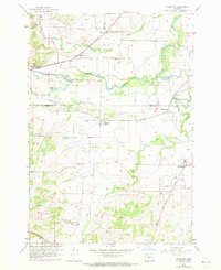
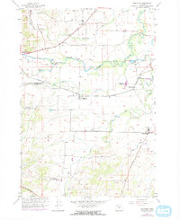
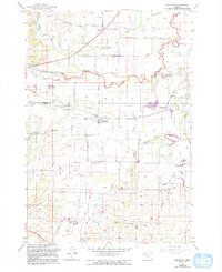
Editions of this 1956 Ballston Map
4 editions found
Other maps of this area

1915 · Rickreall
USGS Topo · 1:31,680

1917 · Salem
USGS Topo · 1:62,500

1924 · Mc Minnville
USGS Topo · 1:48,000

1926 · Mc Minnville
USGS Topo · 1:62,500

1940 · McMinnville
USGS Topo · 1:62,500

1940 · Salem
USGS Topo · 1:62,500

1942 · Sheridan
USGS Topo · 1:62,500

1942 · Dallas
USGS Topo · 1:62,500

1948 · Vancouver
USGS Topo · 1:250,000

1950 · Vancouver
USGS Topo · 1:250,000