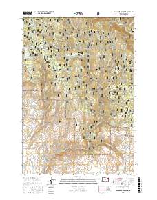
2017 Map of Balm Creek Reservoir
USGS Topo · Published 2017About this map
Whitman National Forest dominates this high-elevation terrain in Baker County, where water management is central to the landscape's utility. The Balm Creek Reservoir and smaller Gover Reservoir sit among a complex network of canyons and gulches, reflecting the importance of storage in this arid region. Man-made water systems like Phillips Ditch and Steward Ditch suggest historical efforts to divert resources from natural courses like Balm Creek and Goose Creek for irrigation or mining downstream. The topography is defined by sharp elevation changes, from the heights of Red Knob and Red Ridge down into Dark Canyon and Excelsior Gulch. An extensive network of Forest Service roads, including NFD Road 70 RD and NFD Road 7040 RD, provides access to this remote portion of the forest, which is still punctuated by landmarks like Surprise Spring and Goose Lake.
Find a feature on this map
54 named features on this map. Tap any name to fly to it.
Don’t see what you’re looking for? This feature index may not catch every label — zoom into the map to look around manually.
Map Details
Editions of this 2017 Balm Creek Reservoir Map
This is the sole edition of this map. No revisions or reprints were ever made.
Other maps of this area

1901 · Baker City
USGS Topo · 1:125,000

1906 · Telocaset
USGS Topo · 1:125,000

1915 · Pine
USGS Topo · 1:125,000

1954 · Eagle Cap
USGS Topo · 1:62,500

1955 · Baker
USGS Topo · 1:250,000

1955 · Grangeville
USGS Topo · 1:250,000

1957 · Sparta
USGS Topo · 1:62,500

1959 · Baker
USGS Topo · 1:250,000

1959 · Grangeville
USGS Topo · 1:250,000

1965 · Flagstaff Butte
USGS Topo · 1:24,000