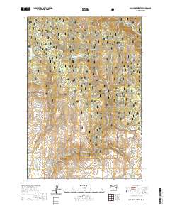
2020 Map of Balm Creek Reservoir
USGS Topo · Published 2020About this map
Whitman National Forest dominates this section of the Oregon high country, where a network of gulches and water systems defines the landscape. The northeastern corner is home to the Eagle Creek Wild and Scenic River, while the southern reaches are marked by water management features like Phillips Ditch and Steward Ditch. These man-made channels, alongside Gover Reservoir, underscore the importance of water diversion in a region otherwise characterized by natural drainages such as Balm Creek and Goose Cr.
Find a feature on this map
43 named features on this map. Tap any name to fly to it.
Don’t see what you’re looking for? This feature index may not catch every label — zoom into the map to look around manually.
Map Details
Editions of this 2020 Balm Creek Reservoir Map
This is the sole edition of this map. No revisions or reprints were ever made.
Other maps of this area

1901 · Baker City
USGS Topo · 1:125,000

1906 · Telocaset
USGS Topo · 1:125,000

1915 · Pine
USGS Topo · 1:125,000

1954 · Eagle Cap
USGS Topo · 1:62,500

1955 · Baker
USGS Topo · 1:250,000

1955 · Grangeville
USGS Topo · 1:250,000

1957 · Sparta
USGS Topo · 1:62,500

1959 · Baker
USGS Topo · 1:250,000

1959 · Grangeville
USGS Topo · 1:250,000

1965 · Flagstaff Butte
USGS Topo · 1:24,000