
1961 Map of Baltimore
USGS Topo · Published 1961About this map
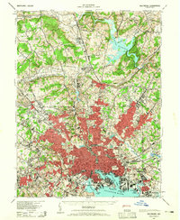
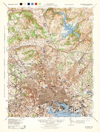
The urban core of Baltimore and its industrial satellites dominate the mid-Atlantic landscape of the early 1960s, a period of massive infrastructure growth and Cold War military activity. Extensive rail networks including the Pennsylvania RR and Baltimore & Ohio RR converge on the harbor, while the newly established Friendship International Airport marks the shift toward aviation. To the north and west, the map follows the jagged spine of the Blue Ridge and Catoctin Mountain, revealing a rural contrast of orchards and historic towns like Gettysburg and Hagerstown. The Chesapeake waterfront is heavily defined by defense installations, from Aberdeen Proving Ground to the US Naval Academy at Annapolis. This survey effectively captures the region at a crossroads, where traditional maritime commerce at Fort McHenry meets the expanding suburban footprints of Silver Spring and Bethesda near the Potomac River.
Find a feature on this map
92 named features on this map. Tap any name to fly to it.
Don’t see what you’re looking for? This feature index may not catch every label — zoom into the map to look around manually.
Map Details
Editions of this 1961 Baltimore Map
This is the sole edition of this map. No revisions or reprints were ever made.
Historical Maps of Knollwood Donnybrook Through Time
12 maps found
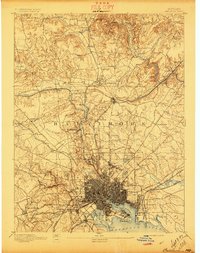
1894 Baltimore
Baltimore City County, MD
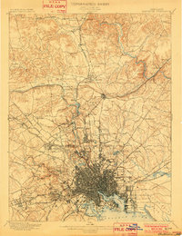
1899 Baltimore
Baltimore City County, MD
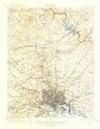
1904 Baltimore
Baltimore City County, MD
1943 Baltimore
Baltimore City County, MD
1944 Baltimore
Baltimore City County, MD
1948 Baltimore
Baltimore City County, MD

1954 Baltimore
Baltimore City County, MD

1956 Baltimore
Baltimore City County, MD
1957 Baltimore
Baltimore City County, MD
1961 Baltimore
Baltimore City County, MD

1984 Baltimore
Baltimore City County, MD

1989 Baltimore
Baltimore City County, MD