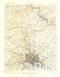
1904 Map of Baltimore
USGS Topo · Published 1947About this map
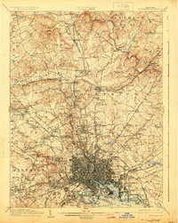
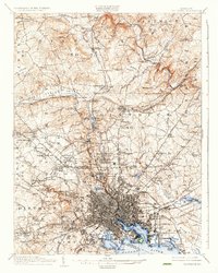
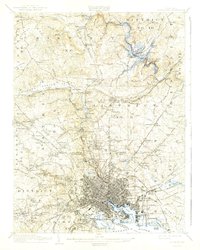
Fort Mc Henry National Mon. stands guard over the harbor in this detailed turn-of-the-century look at the Maryland port and its surrounding districts. The city's dense gridiron gives way to a complex network of turnpikes and rail lines, including the Northern Central RR and Western Maryland RR, which facilitated the movement of goods and people across a landscape transitioning from urban center to industrial outskirts and rural valleys. Notable landmarks like the Ashland Furnace and the expansive Loch Raven Reservoir illustrate the area's essential infrastructure for production and water supply during this era of growth.
Find a feature on this map
199 named features on this map. Tap any name to fly to it.
Don’t see what you’re looking for? This feature index may not catch every label — zoom into the map to look around manually.
Map Details
Editions of this 1904 Baltimore Map
8 editions found

Other maps of this area

1892 · Laurel
USGS Topo · 1:62,500

1892 · Ellicott
USGS Topo · 1:62,500

1893 · North Point
USGS Topo · 1:62,500

1893 · Gunpowder
USGS Topo · 1:62,500

1894 · Ellicott
USGS Topo · 1:62,500

1894 · Laurel
USGS Topo · 1:62,500

1894 · Baltimore
USGS Topo · 1:62,500

1894 · Relay
USGS Topo · 1:62,500

1897 · Laurel
USGS Topo · 1:62,500

1898 · Tolchester
USGS Topo · 1:125,000