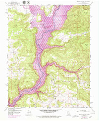
1954 Map of Bancos Mesa NW
USGS Topo · Published 1979About this map
The San Juan River corridor is the dominant geographic feature of this Northern New Mexico landscape, shown here during a transitional period of hydrological engineering. The 1971 revisions illustrate the Navajo Reservoir inundation zone, marked by light-purple patterns that indicate controlled water levels up to 6101 feet. This development fundamentally altered the canyons of the high desert, including Cottonwood Canyon and Bancos Cañon.
Find a feature on this map
21 named features on this map. Tap any name to fly to it.
Don’t see what you’re looking for? This feature index may not catch every label — zoom into the map to look around manually.
Map Details
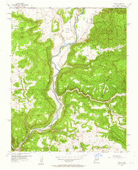
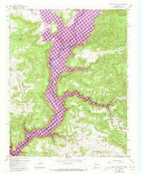
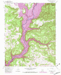
Editions of this 1954 Bancos Mesa NW Map
5 editions found

Other maps of this area

1889 · Largo
USGS Topo · 1:250,000

1895 · Largo
USGS Topo · 1:250,000

1908 · Ignacio
USGS Topo · 1:125,000

1924 · Ignacio
USGS Topo · 1:125,000

1924 · Pagosa Springs
USGS Topo · 1:125,000

1927 · Pagosa Springs
USGS Topo · 1:125,000

1945 · Durango
USGS Topo · 1:250,000

1953 · Durango
USGS Topo · 1:250,000

1954 · Durango
USGS Topo · 1:250,000

1954 · Allison
USGS Topo · 1:24,000