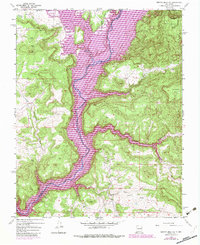
1954 Map of Bancos Mesa NW
USGS Topo · Published 1983About this map
San Juan River Reservoir dominates this rugged corner of the New Mexico and Colorado border, illustrating the transition of the San Juan River through the canyonlands of Rio Arriba County. Surveyed in the mid-1950s and updated in the early 1980s, the map documents the hydraulic engineering and energy extraction that reshaped this high-desert landscape. Evidence of early irrigation is found at the Mentzel Ditch near the northern boundary, while several Gas Wells indicate the growing industrial footprint in the area. High plateaus such as Carracas Mesa and Quintana Mesa overlook a complex drainage system that includes Cañon Bancos and Cabresto Canyon. This survey captures the intersection of traditional land use and modern resource management before further development altered the regional character.
Find a feature on this map
16 named features on this map. Tap any name to fly to it.
Don’t see what you’re looking for? This feature index may not catch every label — zoom into the map to look around manually.
Map Details
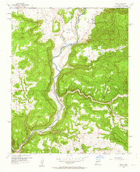
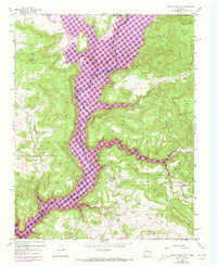
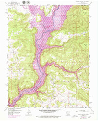
Editions of this 1954 Bancos Mesa NW Map
5 editions found

Other maps of this area

1889 · Largo
USGS Topo · 1:250,000

1895 · Largo
USGS Topo · 1:250,000

1908 · Ignacio
USGS Topo · 1:125,000

1924 · Ignacio
USGS Topo · 1:125,000

1924 · Pagosa Springs
USGS Topo · 1:125,000

1927 · Pagosa Springs
USGS Topo · 1:125,000

1945 · Durango
USGS Topo · 1:250,000

1953 · Durango
USGS Topo · 1:250,000

1954 · Durango
USGS Topo · 1:250,000

1954 · Allison
USGS Topo · 1:24,000