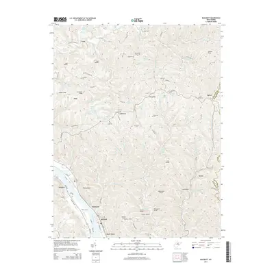
2014 Map of Bancroft
USGS Topo · Published 2014About this map
The Kanawha River corridor dominates the southwestern landscape of this Putnam County region, where the settlements of Winfield, Hometown, and Plymouth follow the river's bend. Along the eastern shore, the riverside village of Bancroft and the community of Black Betsey sit near Webb Landing, marking a transition from the waterway to the steep, ridge-and-hollow interior. The topography is defined by narrow creek valleys and prominent rises like Grandview Ridge and Pleasant Ridge, which have long dictated the path of local roads and the placement of ancestral sites.
Find a feature on this map
117 named features on this map. Tap any name to fly to it.
Don’t see what you’re looking for? This feature index may not catch every label — zoom into the map to look around manually.
Map Details
Editions of this 2014 Bancroft Map
This is the sole edition of this map. No revisions or reprints were ever made.
Other maps of this area

1899 · Charleston
USGS Topo · 1:125,000

1906 · Kenna
USGS Topo · 1:62,500

1906 · Winfield
USGS Topo · 1:62,500

1907 · Kenna
USGS Topo · 1:62,500

1908 · Winfield
USGS Topo · 1:62,500

1909 · Charleston
USGS Topo · 1:62,500

1909 · Saint Albans
USGS Topo · 1:62,500

1931 · Saint Albans
USGS Topo · 1:62,500

1931 · Charleston
USGS Topo · 1:62,500

1933 · Saint Albans
USGS Topo · 1:62,500