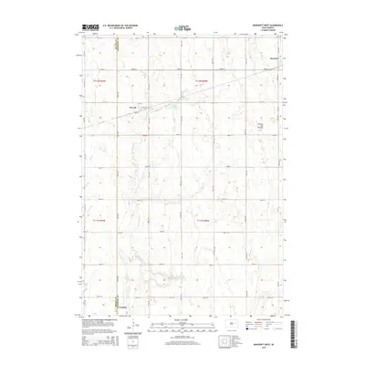
2015 Map of Bancroft West
USGS Topo · Published 2015About this map
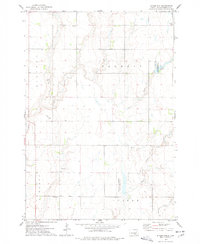
Osceola sits at the intersection of 4th Ave and School St in this 2015 survey of eastern South Dakota. The township landscape is defined by the Coteau des Prairies, a vast plateau that creates a distinct drainage pattern across the region. Water features like Osceola Lake and the meandering S Fork Pearl Cr provide the primary relief in an otherwise strictly gridded section-line road system. In the northeast corner, the small settlement of Bancroft is positioned along Grass Rd, while the southern edge of the map captures the outskirts of Iroquois. The survey illustrates the enduring agricultural layout of Kingsbury Co and Beadle Co, where the rigid geometry of roads like 200th St and 420th Ave contrasts with the natural contours of the glacial upland.
Find a feature on this map
31 named features on this map. Tap any name to fly to it.
Don’t see what you’re looking for? This feature index may not catch every label — zoom into the map to look around manually.
Map Details
Editions of this 2015 Bancroft West Map
This is the sole edition of this map. No revisions or reprints were ever made.
Other maps of this area

1899 · De Smet
USGS Topo · 1:125,000

1953 · Watertown
USGS Topo · 1:250,000

1958 · Watertown
USGS Topo · 1:250,000

1971 · Iroquois
USGS Topo · 1:24,000
1971 · Pearl Creek Colony
USGS Topo · 1:24,000

1971 · Bancroft East
USGS Topo · 1:24,000

1971 · Bancroft West
USGS Topo · 1:24,000
1971 · Yale
USGS Topo · 1:24,000
1971 · Manchester
USGS Topo · 1:24,000
1973 · Staum Dam
USGS Topo · 1:24,000