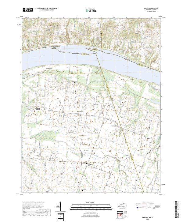
2022 Map of Bandana
USGS Topo · Published 2022About this map
The Ohio River forms a massive bend at the border of Kentucky and Illinois, shaping the rural landscape of northern Ballard and McCracken counties. This area is characterized by the low-lying Oscar Bottoms and the sprawling Grand Chain, where the river's influence is evident in features like the Post Creek Cutoff and Little Colvin Lake. The settlement pattern is distinctly agricultural, with small communities such as Bandana, Needmore, and the curiously named Monkeys Eyebrow serving as focal points for the surrounding farmsteads.
Find a feature on this map
108 named features on this map. Tap any name to fly to it.
Don’t see what you’re looking for? This feature index may not catch every label — zoom into the map to look around manually.
Map Details
Editions of this 2022 Bandana Map
This is the sole edition of this map. No revisions or reprints were ever made.
Other maps of this area

1918 · Vienna
USGS Topo · 1:62,500

1919 · Vienna
USGS Topo · 1:62,500

1920 · Dongola
USGS Topo · 1:62,500

1923 · Dongola
USGS Topo · 1:62,500

1928 · La Center
USGS Topo · 1:62,500

1931 · Cairo
USGS Topo · 1:62,500

1932 · La Center
USGS Topo · 1:62,500

1933 · Cairo
USGS Topo · 1:62,500

1939 · Cairo
USGS Topo · 1:62,500

1942 · Vienna
USGS Topo · 1:62,500