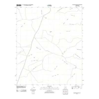
2010 Map of Bandanna Point
USGS Topo · Published 2010About this map
Azotea Mesa and the surrounding high desert of Eddy County are defined by a complex network of canyons and draws in this 2010 U.S. Geological Survey representation. The landscape is marked by the presence of isolated cattle operations, including Russell Ranch, Moss Ranch, and Wooten Ranch, which sit as lonely outposts in a territory carved by drainage systems like Last Chance Canyon and China Canyon. The prominence of Bandanna Point offers a central landmark above the Sotol Basin and Bogle Flats.
Find a feature on this map
26 named features on this map. Tap any name to fly to it.
Don’t see what you’re looking for? This feature index may not catch every label — zoom into the map to look around manually.
Map Details
Editions of this 2010 Bandanna Point Map
This is the sole edition of this map. No revisions or reprints were ever made.
Other maps of this area

1940 · Bandanna Point
USGS Topo · 1:62,500

1940 · Carlsbad Caverns West
USGS Topo · 1:62,500

1943 · Carlsbad Caverns West
USGS Topo · 1:62,500

1943 · Bandanna Point
USGS Topo · 1:62,500

1943 · West Carlsbad
USGS Topo · 1:62,500

1945 · West Carlsbad
USGS Topo · 1:62,500

1945 · Carlsbad Caverns East
USGS Topo · 1:62,500

1947 · Carlsbad Caverns East
USGS Topo · 1:62,500

1954 · Carlsbad
USGS Topo · 1:250,000

1958 · Carlsbad
USGS Topo · 1:250,000