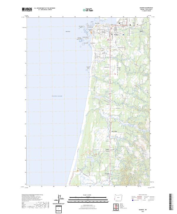
2024 Map of Bandon
USGS Topo · Published 2024About this map
The coastal interface of Bandon and the Pacific shore is defined by a striking series of sea stacks and offshore rocks, including Face Rock, Table Rock, and the Sisters. This modern survey details the town's expansion southward from the Coquille River mouth, where residential streets give way to more rural holdings near Dew Valley and Laurel Grove. The landscape is dotted with small industrial and agricultural landmarks like the Dahl Log Pond and several interior reservoirs including Hawley Reservoir and Geiger Creek Reservoir.
Find a feature on this map
94 named features on this map. Tap any name to fly to it.
Don’t see what you’re looking for? This feature index may not catch every label — zoom into the map to look around manually.
Map Details
Editions of this 2024 Bandon Map
This is the sole edition of this map. No revisions or reprints were ever made.
Other maps of this area

1896 · Coos Bay
USGS Topo · 1:125,000

1898 · Coos Bay
USGS Topo · 1:125,000

1899 · Port Orford
USGS Topo · 1:125,000

1900 · Coos Bay
USGS Topo · 1:125,000

1903 · Port Orford
USGS Topo · 1:125,000

1943 · Bandon
USGS Topo · 1:62,500

1944 · Bandon
USGS Topo · 1:62,500

1954 · Coos Bay
USGS Topo · 1:250,000

1954 · Cape Blanco
USGS Topo · 1:62,500

1954 · Langlois
USGS Topo · 1:62,500