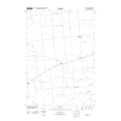
2013 Map of Bangor
USGS Topo · Published 2013About this map
The Little Salmon River and its various forks define the rural character of this northern New York landscape. Several established hamlets and farmsteads are connected by a network of county roads, with North Bangor and Bangor serving as central hubs for the surrounding agricultural community. The map reveals a dense concentration of historical burial sites, such as Saint Augustine Cem, Bangor Cem, and the remote Southworth Cem, which are essential markers for local genealogical research.
Find a feature on this map
77 named features on this map. Tap any name to fly to it.
Don’t see what you’re looking for? This feature index may not catch every label — zoom into the map to look around manually.
Map Details
Editions of this 2013 Bangor Map
This is the sole edition of this map. No revisions or reprints were ever made.
Other maps of this area

1915 · Malone
USGS Topo · 1:62,500

1915 · Moira
USGS Topo · 1:62,500

1917 · Malone
USGS Topo · 1:62,500

1917 · Moira
USGS Topo · 1:62,500

1919 · Nicholville
USGS Topo · 1:62,500

1921 · Nicholville
USGS Topo · 1:62,500

1921 · Santa Clara
USGS Topo · 1:62,500

1923 · Santa Clara
USGS Topo · 1:62,500

1944 · Moira
USGS Topo · 1:62,500

1948 · Ogdensburg
USGS Topo · 1:250,000