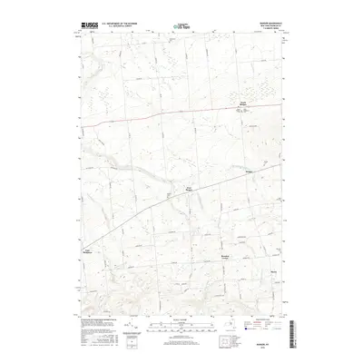
2016 Map of Bangor
USGS Topo · Published 2016About this map
North Bangor and West Bangor anchor this portion of Franklin County, where the landscape is defined by the winding course of the Little Salmon River and its numerous tributaries. The settlement pattern follows a network of rural roads such as Co Hwy 11 and Co Hwy 13, connecting small hamlets and family-named landmarks. Several historic burying grounds, including Saint Augustine Cem, North Bangor Cem, and Southworth Cem, provide important points of reference for genealogists tracing early families in the region.
Find a feature on this map
78 named features on this map. Tap any name to fly to it.
Don’t see what you’re looking for? This feature index may not catch every label — zoom into the map to look around manually.
Map Details
Editions of this 2016 Bangor Map
This is the sole edition of this map. No revisions or reprints were ever made.
Other maps of this area

1915 · Malone
USGS Topo · 1:62,500

1915 · Moira
USGS Topo · 1:62,500

1917 · Malone
USGS Topo · 1:62,500

1917 · Moira
USGS Topo · 1:62,500

1919 · Nicholville
USGS Topo · 1:62,500

1921 · Nicholville
USGS Topo · 1:62,500

1921 · Santa Clara
USGS Topo · 1:62,500

1923 · Santa Clara
USGS Topo · 1:62,500

1944 · Moira
USGS Topo · 1:62,500

1948 · Ogdensburg
USGS Topo · 1:250,000