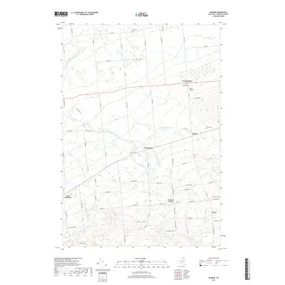
2019 Map of Bangor
USGS Topo · Published 2019About this map
North Bangor and Bangor anchor the northern landscape of this Franklin County region, where the Little Salmon River and its branches, including the E Br Little Salmon River, wind through a patchwork of agricultural lands and woodlots. The map reveals a dense network of local cemeteries that speak to the long-standing community roots in the area, such as Southworth Cem, North Bangor Cem, and Develin Cem.
Find a feature on this map
79 named features on this map. Tap any name to fly to it.
Don’t see what you’re looking for? This feature index may not catch every label — zoom into the map to look around manually.
Map Details
Editions of this 2019 Bangor Map
This is the sole edition of this map. No revisions or reprints were ever made.
Other maps of this area

1915 · Malone
USGS Topo · 1:62,500

1915 · Moira
USGS Topo · 1:62,500

1917 · Malone
USGS Topo · 1:62,500

1917 · Moira
USGS Topo · 1:62,500

1919 · Nicholville
USGS Topo · 1:62,500

1921 · Nicholville
USGS Topo · 1:62,500

1921 · Santa Clara
USGS Topo · 1:62,500

1923 · Santa Clara
USGS Topo · 1:62,500

1944 · Moira
USGS Topo · 1:62,500

1948 · Ogdensburg
USGS Topo · 1:250,000