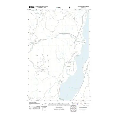
2011 Map of Bangs Mountain
USGS Topo · Published 2011About this map
Bangs Mountain and the high ridges of Stevens County dominate this landscape, which transitions sharply from the forested peaks of the Colville National Forest down to the western shores of Franklin D Roosevelt Lake. This impoundment of the Columbia River defines the eastern edge of the map, where the waters cover the historic Rickey Rapids near Rickey Point. The area's industrial past and recreational present are both evident through the mapping of the Acme Mine and Alma Mine in the southeast, contrasted by a network of public access points including the Sherman Creek Campground, Haag Cove Campground, and Lake Ellen Campground.
Find a feature on this map
64 named features on this map. Tap any name to fly to it.
Don’t see what you’re looking for? This feature index may not catch every label — zoom into the map to look around manually.
Map Details
Editions of this 2011 Bangs Mountain Map
This is the sole edition of this map. No revisions or reprints were ever made.
Other maps of this area

1936 · Marcus
USGS Topo · 1:96,000

1942 · Marcus
USGS Topo · 1:125,000

1948 · Sherman Peak
USGS Topo · 1:62,500

1948 · Kettle Falls
USGS Topo · 1:62,500

1950 · Inchelium
USGS Topo · 1:62,500

1951 · Sherman Peak
USGS Topo · 1:62,500

1951 · Kettle Falls
USGS Topo · 1:62,500

1952 · Twin Lakes
USGS Topo · 1:62,500

1954 · Okanogan
USGS Topo · 1:250,000

1958 · Okanogan
USGS Topo · 1:250,000