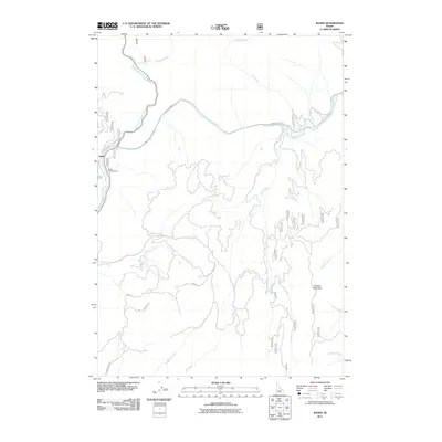
2011 Map of Banks
USGS Topo · Published 2011About this map
The confluence of the North Fork Payette River and the Payette River anchors this Idaho landscape, where the small community of Banks sits at the base of the surrounding mountains. By 2011, the area served as a significant hub for recreation and transit, with the Banks Campground situated near the riverbanks and the Banks Lowman Rd winding eastward through the canyon. The map details a network of forest roads and trails, such as Road 373 and Jerusalem Rd, which provide access to the drainage basins of Fleming Creek and Pumpkin Creek. To the east, the terrain rises toward Charters Mountain, overlooking a series of seasonal and permanent watercourses including Shilling Creek and Longs Creek. This map captures a moment when the rugged Boise County interior remained defined by its river corridors and the logging and forest service infrastructure that provides passage through its steep drainages.
Find a feature on this map
42 named features on this map. Tap any name to fly to it.
Don’t see what you’re looking for? This feature index may not catch every label — zoom into the map to look around manually.
Map Details
Editions of this 2011 Banks Map
This is the sole edition of this map. No revisions or reprints were ever made.
Other maps of this area

1892 · Boise
USGS Topo · 1:125,000

1894 · Squaw Creek
USGS Topo · 1:125,000

1894 · Idaho Basin
USGS Topo · 1:125,000

1897 · Boise
USGS Topo · 1:125,000

1909 · Garden Valley
USGS Topo · 1:125,000

1953 · Banks
USGS Topo · 1:62,500

1955 · Baker
USGS Topo · 1:250,000

1955 · Hailey
USGS Topo · 1:250,000

1955 · Boise
USGS Topo · 1:250,000

1957 · Horseshoe Bend
USGS Topo · 1:24,000