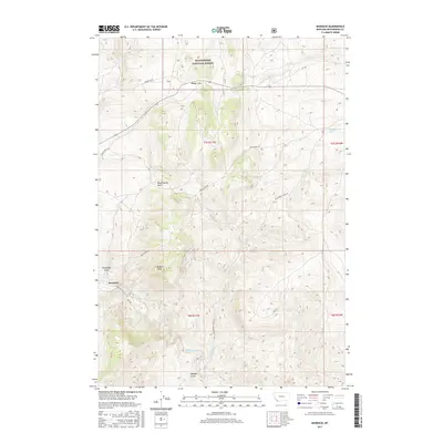
2017 Map of Bannack
USGS Topo · Published 2017About this map
Bannack remains the central point of interest in this 2017 survey of Beaverhead County, Montana. The topography reveals the complex drainage patterns of Grasshopper Creek and its many tributaries, including Cold Spring Cr and Taylor Cr. To the north, the Beaverhead National Forest encompasses Badger Pass, while the local geography is punctuated by names that evoke the region’s frontier history, such as Road Agents Rock and Hangmans Gulch.
Find a feature on this map
21 named features on this map. Tap any name to fly to it.
Don’t see what you’re looking for? This feature index may not catch every label — zoom into the map to look around manually.
Map Details
Editions of this 2017 Bannack Map
This is the sole edition of this map. No revisions or reprints were ever made.
Other maps of this area

1893 · Dillon
USGS Topo · 1:250,000

1952 · Argenta
USGS Topo · 1:24,000

1952 · Bannack
USGS Topo · 1:24,000

1952 · Burns Mountain
USGS Topo · 1:24,000

1952 · Eli Spring
USGS Topo · 1:24,000

1952 · Dalys
USGS Topo · 1:24,000

1952 · Ermont
USGS Topo · 1:24,000

1955 · Dillon
USGS Topo · 1:250,000

1957 · Dillon
USGS Topo · 1:250,000

1958 · Dillon
USGS Topo · 1:250,000