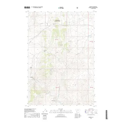
2020 Map of Bannack
USGS Topo · Published 2020About this map
Bannack remains the focal point of this southwestern Montana landscape, situated at the intersection of Bannack Rd and Hendricks Mill Rd. The terrain is defined by its gold-mining legacy and frontier history, evident in evocative landmarks like Road Agents Rock and the sobering Hangmans Gulch. These features speak to the era of lawlessness and vigilante justice that once dominated the gulches along Grasshopper Creek. To the north, the high ground of Badger Ridge and Badger Pass provides a transition into the protected lands of the Beaverhead National Forest. This modern survey tracks the enduring network of trails and creek-side routes, such as Cold Spring Creek Rd and Taylor Ck Rd, which continue to navigate the complex system of drainages including Madigan Gulch and Cold Spring Creek.
Find a feature on this map
21 named features on this map. Tap any name to fly to it.
Don’t see what you’re looking for? This feature index may not catch every label — zoom into the map to look around manually.
Map Details
Editions of this 2020 Bannack Map
This is the sole edition of this map. No revisions or reprints were ever made.
Other maps of this area
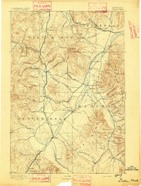
1893 · Dillon
USGS Topo · 1:250,000
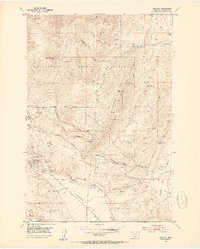
1952 · Argenta
USGS Topo · 1:24,000
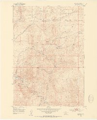
1952 · Bannack
USGS Topo · 1:24,000
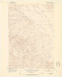
1952 · Burns Mountain
USGS Topo · 1:24,000
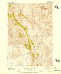
1952 · Eli Spring
USGS Topo · 1:24,000
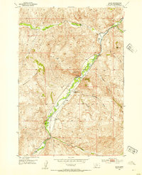
1952 · Dalys
USGS Topo · 1:24,000
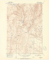
1952 · Ermont
USGS Topo · 1:24,000

1955 · Dillon
USGS Topo · 1:250,000

1957 · Dillon
USGS Topo · 1:250,000
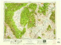
1958 · Dillon
USGS Topo · 1:250,000