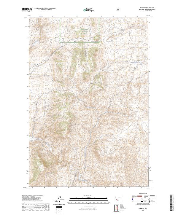
2024 Map of Bannack
USGS Topo · Published 2024About this map
Bannack remains a focal point of this Beaverhead County landscape, situated where the waters of Grasshopper Creek cut through the high-elevation terrain. This modern survey reflects a region defined by its transition from high desert gulches like Madigan Gulch to the protected timberlands of the Beaverhead National Forest. The local geography is anchored by Badger Ridge and Badger Pass, which have long dictated the movement of travelers and freight through this corner of Montana.
Find a feature on this map
22 named features on this map. Tap any name to fly to it.
Don’t see what you’re looking for? This feature index may not catch every label — zoom into the map to look around manually.
Map Details
Editions of this 2024 Bannack Map
This is the sole edition of this map. No revisions or reprints were ever made.
Other maps of this area

1893 · Dillon
USGS Topo · 1:250,000

1952 · Argenta
USGS Topo · 1:24,000

1952 · Bannack
USGS Topo · 1:24,000

1952 · Burns Mountain
USGS Topo · 1:24,000

1952 · Eli Spring
USGS Topo · 1:24,000

1952 · Dalys
USGS Topo · 1:24,000

1952 · Ermont
USGS Topo · 1:24,000

1955 · Dillon
USGS Topo · 1:250,000

1957 · Dillon
USGS Topo · 1:250,000

1958 · Dillon
USGS Topo · 1:250,000