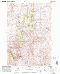
1997 Map of Bannack
USGS Topo · Published 2002About this map
Bannack anchors the southwestern portion of this map, established at the site of Montana's first major gold discovery along the banks of Grasshopper Creek. By the late 1990s, the area is preserved as Bannack State Park, protecting the remains of the territory's original seat of government. The surrounding landscape of Badger Ridge and Badger Pass is dense with the legacy of the 1860s gold rush, evidenced by an extraordinary concentration of named lode and placer claims.
Find a feature on this map
38 named features on this map. Tap any name to fly to it.
Don’t see what you’re looking for? This feature index may not catch every label — zoom into the map to look around manually.
Map Details
Editions of this 1997 Bannack Map
This is the sole edition of this map. No revisions or reprints were ever made.
Other maps of this area

1893 · Dillon
USGS Topo · 1:250,000

1952 · Argenta
USGS Topo · 1:24,000

1952 · Bannack
USGS Topo · 1:24,000

1952 · Burns Mountain
USGS Topo · 1:24,000

1952 · Eli Spring
USGS Topo · 1:24,000

1952 · Dalys
USGS Topo · 1:24,000

1952 · Ermont
USGS Topo · 1:24,000

1955 · Dillon
USGS Topo · 1:250,000

1957 · Dillon
USGS Topo · 1:250,000

1958 · Dillon
USGS Topo · 1:250,000