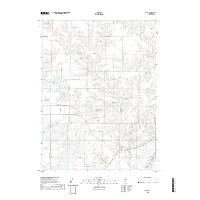
2021 Map of Banner
USGS Topo · Published 2021About this map
Canton and its eastern surroundings are defined by a complex network of waterways feeding into the Illinois River valley. The landscape is deeply dissected by the various branches of Copperas Creek, including the Middle Branch and West Branch, which carve through the terrain south of Canton Lake. This 2021 survey documents several small, established communities such as Monterey, Breeds, and Rawalts, many of which are situated along the ridgelines overlooking the creek bottoms.
Find a feature on this map
78 named features on this map. Tap any name to fly to it.
Don’t see what you’re looking for? This feature index may not catch every label — zoom into the map to look around manually.
Map Details
Editions of this 2021 Banner Map
This is the sole edition of this map. No revisions or reprints were ever made.
Other maps of this area

1912 · Canton
USGS Topo · 1:62,500

1925 · Havana
USGS Topo · 1:62,500

1929 · Manito
USGS Topo · 1:62,500

1930 · Glasford
USGS Topo · 1:62,500

1932 · Manito
USGS Topo · 1:62,500

1947 · St. David
USGS Topo · 1:24,000

1948 · St. David
USGS Topo · 1:24,000

1948 · Glasford
USGS Topo · 1:62,500
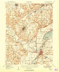
1949 · Havana
USGS Topo · 1:62,500

1958 · Burlington
USGS Topo · 1:250,000