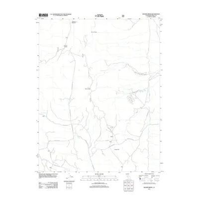
2012 Map of Banner Ridge
USGS Topo · Published 2012About this map
Banner Ridge and the southern reaches of the Benton Range define this high-desert landscape in Mono County. The area’s industrial history is etched into the terrain through a network of mining roads and infrastructure, including the Gold Crown Mine and the site of Kings Mill. These features are concentrated near Chidago Flat, where Chidago Canyon Rd and Chidago Loop navigate the drainage patterns of the region.
Find a feature on this map
23 named features on this map. Tap any name to fly to it.
Don’t see what you’re looking for? This feature index may not catch every label — zoom into the map to look around manually.
Map Details
Editions of this 2012 Banner Ridge Map
This is the sole edition of this map. No revisions or reprints were ever made.
Other maps of this area

1914 · Mt. Morrison
USGS Topo · 1:125,000

1917 · White Mountain
USGS Topo · 1:125,000

1947 · Mariposa
USGS Topo · 1:250,000

1948 · Mariposa
USGS Topo · 1:250,000

1953 · Casa Diablo Mtn
USGS Topo · 1:62,500

1957 · Mariposa
USGS Topo · 1:250,000

1962 · Benton
USGS Topo · 1:62,500

1962 · Glass Mountain
USGS Topo · 1:62,500

1962 · White Mtn. Peak
USGS Topo · 1:62,500

1963 · Mariposa
USGS Topo · 1:250,000