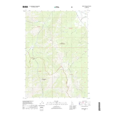
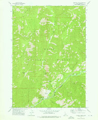
2020 Map of Banner Summit
USGS Topo · Published 2020About this map
The high alpine divide of Banner Summit serves as a critical geographic marker in this modern survey of the central Idaho mountains. The landscape is defined by the boundary between the Challis National Forest and the Boise National Forest, where steep ridgelines like Copper Mtn separate numerous high-elevation basins. These basins are dotted with several small water bodies, including Newman Lake, Elizabeth Lake, and Marten Lake, which feed the complex network of headwater streams such as Cape Horn Cr and Newman Cr.
Find a feature on this map
47 named features on this map. Tap any name to fly to it.
Don’t see what you’re looking for? This feature index may not catch every label — zoom into the map to look around manually.
Map Details
Editions of this 2020 Banner Summit Map
This is the sole edition of this map. No revisions or reprints were ever made.
Other maps of this area

1891 · Bear Valley
USGS Topo · 1:125,000

1893 · Bear Valley
USGS Topo · 1:125,000

1957 · Challis
USGS Topo · 1:250,000

1960 · Challis
USGS Topo · 1:250,000

1963 · Challis
USGS Topo · 1:250,000

1972 · Bull Trout Point
USGS Topo · 1:24,000
1972 · Langer Peak
USGS Topo · 1:24,000
1972 · Banner Summit
USGS Topo · 1:24,000
1972 · Stanley Lake
USGS Topo · 1:24,000
1972 · Eightmile Mtn
USGS Topo · 1:24,000