
1972 Map of Bull Trout Point
USGS Topo · Published 1975About this map
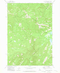
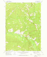
Boise National Forest and Challis National Forest meet in this high-altitude landscape defined by mountain hydrology and early resource extraction. The map preserves a complex network of unnamed pack trails and early access routes that weave through the drainage basins of Bull Trout Lake and Martin Lake. This terrain was historically significant for small-scale exploration, as evidenced by prospects located in the western sections. The boundary between Valley, Custer, and Boise counties follows the high ridgelines, including the prominent Bull Trout Point and Cape Horn Summit. This 1970s survey illustrates a wilderness being managed for recreation and watershed protection, shown by the establishment of campgrounds near the lake systems and the preservation of numerous named tributaries like Dead Man Creek and Warm Spring Creek.
Find a feature on this map
26 named features on this map. Tap any name to fly to it.
Don’t see what you’re looking for? This feature index may not catch every label — zoom into the map to look around manually.
Map Details
Editions of this 1972 Bull Trout Point Map
2 editions found
Other maps of this area

1891 · Bear Valley
USGS Topo · 1:125,000

1893 · Bear Valley
USGS Topo · 1:125,000

1957 · Challis
USGS Topo · 1:250,000

1960 · Challis
USGS Topo · 1:250,000

1963 · Challis
USGS Topo · 1:250,000
1972 · Banner Summit
USGS Topo · 1:24,000

1972 · Cache Creek
USGS Topo · 1:24,000
1972 · Miller Mtn East
USGS Topo · 1:24,000
1972 · Eightmile Mtn
USGS Topo · 1:24,000
1972 · Grandjean
USGS Topo · 1:24,000