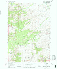
1965 Map of Bannock Pass
USGS Topo · Published 1984About this map
The Continental Divide winds through this high-altitude landscape, serving as the natural boundary between Beaverhead County, Montana and Lemhi County, Idaho. This mid-1960s survey captures a transition in high-country transportation, where an Old RR Grade runs parallel to Horse Prairie Creek, marking a vanished corridor of rail commerce near Bannock Pass. The land is divided between the Beaverhead National Forest and Salmon National Forest, with rugged terrain defined by Grizzly Hill and deep cuts like Black Canyon Creek. Resource extraction left its mark through several prospects and the distinctly named Digmore Mine. Numerous water sources, such as Irish Boy Springs, Wagonbox Spring, and Soapstone Spring, suggest the importance of reliable water for both early mining operations and livestock in this mountain pass environment.
Find a feature on this map
33 named features on this map. Tap any name to fly to it.
Don’t see what you’re looking for? This feature index may not catch every label — zoom into the map to look around manually.
Map Details
Editions of this 1965 Bannock Pass Map
3 editions found
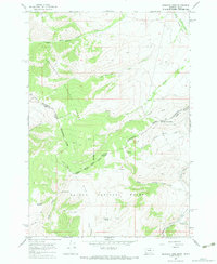
Other maps of this area

1955 · Dubois
USGS Topo · 1:250,000

1956 · Leadore
USGS Topo · 1:62,500

1956 · Morrison Lake
USGS Topo · 1:62,500

1958 · Dubois
USGS Topo · 1:250,000

1965 · Deadman Pass
USGS Topo · 1:24,000

1965 · Jeff Davis Peak
USGS Topo · 1:24,000

1965 · Lemhi Pass
USGS Topo · 1:24,000
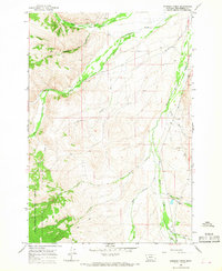
1965 · Everson Creek
USGS Topo · 1:24,000

1965 · Bannock Pass
USGS Topo · 1:24,000
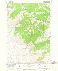
1965 · Goat Mountain
USGS Topo · 1:24,000