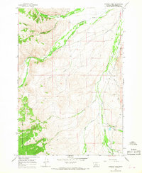
1965 Map of Everson Creek
USGS Topo · Published 1968About this map
Horse Prairie Creek meanders through the high valleys of Beaverhead County in this mid-1960s topographic study. The landscape is defined by its drainage systems, where Bloody Dick Creek and Spring Creek flow through various gulches and canyons. Human activity is sparse but significant, centered on the Donovan Ranch and a series of mining efforts near Jeff Davis Creek, indicated by Tailings and various Prospects scattered across the slopes.
Find a feature on this map
24 named features on this map. Tap any name to fly to it.
Don’t see what you’re looking for? This feature index may not catch every label — zoom into the map to look around manually.
Map Details
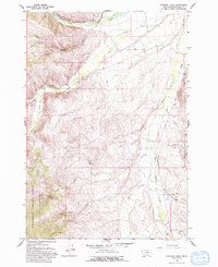
Editions of this 1965 Everson Creek Map
2 editions found
Other maps of this area

1955 · Dubois
USGS Topo · 1:250,000

1955 · Dillon
USGS Topo · 1:250,000

1957 · Dillon
USGS Topo · 1:250,000

1958 · Dubois
USGS Topo · 1:250,000

1958 · Dillon
USGS Topo · 1:250,000

1959 · Grant
USGS Topo · 1:62,500

1962 · Dillon
USGS Topo · 1:250,000

1965 · Dillon
USGS Topo · 1:250,000

1965 · Deadman Pass
USGS Topo · 1:24,000

1965 · Jeff Davis Peak
USGS Topo · 1:24,000