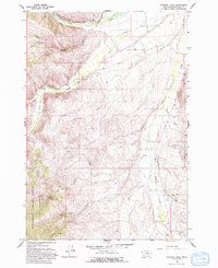
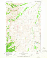
1965 Map of Everson Creek
USGS Topo · Published 1993About this map
Horse Prairie Creek and its many tributaries define this high-country landscape in southwestern Montana, where the ranching and mining legacy of Beaverhead County is clearly visible. The map detail shows the Donovan Ranch situated near the confluence of Jeff Davis Creek and Maiden Creek, highlighting the importance of water rights and valley bottomlands in this region. Evidence of historical infrastructure appears via the Old RR Grade cutting through the southeastern corner, a remnant of the transport networks that once served the remote mining districts of the Pioneer and Beaverhead Mountains.
Find a feature on this map
25 named features on this map. Tap any name to fly to it.
Don’t see what you’re looking for? This feature index may not catch every label — zoom into the map to look around manually.
Map Details
Editions of this 1965 Everson Creek Map
2 editions found
Other maps of this area

1955 · Dubois
USGS Topo · 1:250,000

1955 · Dillon
USGS Topo · 1:250,000

1957 · Dillon
USGS Topo · 1:250,000

1958 · Dubois
USGS Topo · 1:250,000

1958 · Dillon
USGS Topo · 1:250,000

1959 · Grant
USGS Topo · 1:62,500

1962 · Dillon
USGS Topo · 1:250,000

1965 · Dillon
USGS Topo · 1:250,000

1965 · Deadman Pass
USGS Topo · 1:24,000

1965 · Jeff Davis Peak
USGS Topo · 1:24,000