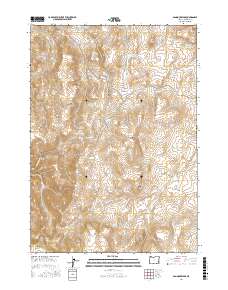
2017 Map of Bannock Ridge
USGS Topo · Published 2017About this map
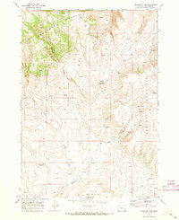
Bannock Ridge and the high desert terrain of eastern Malheur County are defined by deep canyons and prominent volcanic peaks in this 2017 survey. The landscape is marked by extreme elevation changes, rising from the floor of Craig Gulch and Moss Gulch toward landmarks like Smith Butte and the southern slopes of Mahogany Mtn. Human presence in this arid region is largely centered on water management and high-country access, visible through the Long Gulch Reservoir and Upper Saddle Butte Reservoir. Cattle ranching and back-country exploration are supported by a network of primitive tracks, including the primary Leslie Gulch Rd and the intriguing route known as The Whitenburg. Named springs such as Bannock Spring and Sulphur Spring provide critical landmarks for those navigating the ridges between Carter Cr and the heights of Steamboat Ridge.
Find a feature on this map
33 named features on this map. Tap any name to fly to it.
Don’t see what you’re looking for? This feature index may not catch every label — zoom into the map to look around manually.
Map Details
Editions of this 2017 Bannock Ridge Map
This is the sole edition of this map. No revisions or reprints were ever made.
Other maps of this area

1955 · Boise
USGS Topo · 1:250,000

1958 · Boise
USGS Topo · 1:250,000

1962 · Boise
USGS Topo · 1:250,000

1967 · Pelican Point
USGS Topo · 1:24,000

1967 · Rockville
USGS Topo · 1:24,000
1967 · Pole Creek Top
USGS Topo · 1:24,000
1967 · Bannock Ridge
USGS Topo · 1:24,000

1967 · Rooster Comb
USGS Topo · 1:24,000
1967 · Three Fingers Rock
USGS Topo · 1:24,000
1969 · Mahogany Gap
USGS Topo · 1:24,000