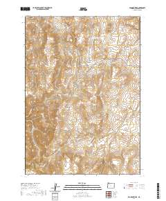
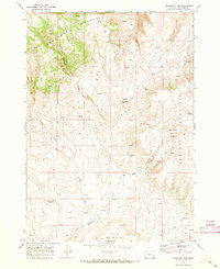
2020 Map of Bannock Ridge
USGS Topo · Published 2020About this map
Bannock Ridge and the high desert plateaus of eastern Oregon define this corner of Malheur County, where water is the primary architect of the landscape. The reliance on seasonal moisture is evident in the naming of several critical water sources, including the Long Gulch Reservoir and Upper Saddle Butte Reservoir, as well as numerous springs like Gravel Spring and Bannock Gulch Spring. These features suggest a history of range management and livestock grazing across the high elevations.
Find a feature on this map
34 named features on this map. Tap any name to fly to it.
Don’t see what you’re looking for? This feature index may not catch every label — zoom into the map to look around manually.
Map Details
Editions of this 2020 Bannock Ridge Map
This is the sole edition of this map. No revisions or reprints were ever made.
Other maps of this area

1955 · Boise
USGS Topo · 1:250,000

1958 · Boise
USGS Topo · 1:250,000

1962 · Boise
USGS Topo · 1:250,000

1967 · Pelican Point
USGS Topo · 1:24,000

1967 · Rockville
USGS Topo · 1:24,000
1967 · Pole Creek Top
USGS Topo · 1:24,000
1967 · Bannock Ridge
USGS Topo · 1:24,000

1967 · Rooster Comb
USGS Topo · 1:24,000
1967 · Three Fingers Rock
USGS Topo · 1:24,000
1969 · Mahogany Gap
USGS Topo · 1:24,000