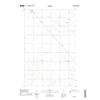
2020 Map of Bantry
USGS Topo · Published 2020About this map
Bantry and the surrounding plains of McHenry County are depicted here in detail, showcasing a landscape defined by the Jeffersonian grid and the wide-open terrain of North Dakota. The settlement of Bantry is the primary hub, where local streets like Main St and University St provide a small urban structure amidst the vast agricultural sections. Nearby, the Bantry Union Cem serves as a significant landmark for those tracing local family histories and early burials in this prairie community.
Find a feature on this map
32 named features on this map. Tap any name to fly to it.
Don’t see what you’re looking for? This feature index may not catch every label — zoom into the map to look around manually.
Map Details
Editions of this 2020 Bantry Map
This is the sole edition of this map. No revisions or reprints were ever made.
Other maps of this area

1949 · Riga
USGS Topo · 1:24,000

1949 · Denbigh
USGS Topo · 1:24,000

1949 · Bantry
USGS Topo · 1:24,000

1950 · Towner NW
USGS Topo · 1:24,000

1950 · Upham SE
USGS Topo · 1:24,000

1950 · Towner
USGS Topo · 1:24,000

1950 · Upham
USGS Topo · 1:24,000

1950 · Willow City SW
USGS Topo · 1:24,000

1950 · Denbigh
USGS Topo · 1:24,000

1950 · Bantry NW
USGS Topo · 1:24,000