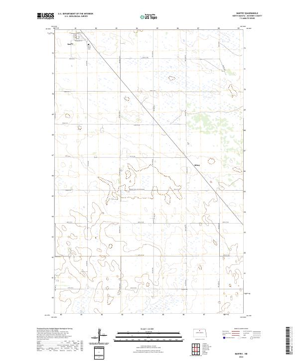
2024 Map of Bantry
USGS Topo · Published 2024About this map
Bantry and the surrounding McHenry County plains are depicted here in a modern survey that reveals the persistent grid of the Public Land Survey System. The township lines of t158n r77w and t157n r77w organize a landscape dominated by seasonal wetlands and prairie depressions. Within the small settlement of Bantry, local landmarks like Main St and University St are documented alongside the Bantry Union Cem, a key site for genealogical research in this rural corridor. Further south, the map identifies Milroy, situated along a diagonal route that cuts across the section lines. The presence of the Prairie Trail South Bound reflects the ongoing importance of regional transit routes through this open terrain, where elevation changes are subtle and the water table shapes the agricultural utility of the land.
Find a feature on this map
34 named features on this map. Tap any name to fly to it.
Don’t see what you’re looking for? This feature index may not catch every label — zoom into the map to look around manually.
Map Details
Editions of this 2024 Bantry Map
This is the sole edition of this map. No revisions or reprints were ever made.
Other maps of this area

1949 · Riga
USGS Topo · 1:24,000

1949 · Denbigh
USGS Topo · 1:24,000

1949 · Bantry
USGS Topo · 1:24,000

1950 · Towner NW
USGS Topo · 1:24,000

1950 · Upham SE
USGS Topo · 1:24,000

1950 · Towner
USGS Topo · 1:24,000

1950 · Upham
USGS Topo · 1:24,000

1950 · Willow City SW
USGS Topo · 1:24,000

1950 · Denbigh
USGS Topo · 1:24,000

1950 · Bantry NW
USGS Topo · 1:24,000