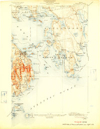
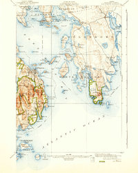
1904 Map of Bar Harbor
USGS Topo · Published 1909About this map
The coastal landscapes of Mount Desert Island and the Schoodic Peninsula are captured here during a pivotal era of conservation, specifically noted by the 1916 addition of Sieur De Monts National Monument. The maritime infrastructure of the early 20th century is clearly defined, featuring the Mount Desert Ferry and various steamboat routes connecting the harbor towns.
Find a feature on this map
158 named features on this map. Tap any name to fly to it.
Don’t see what you’re looking for? This feature index may not catch every label — zoom into the map to look around manually.
Map Details
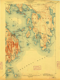
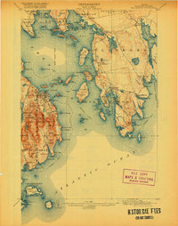
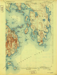
Editions of this 1904 Bar Harbor Map
6 editions found
Other maps of this area

1902 · Cherryfield
USGS Topo · 1:62,500

1904 · Cherryfield
USGS Topo · 1:62,500

1904 · Mount Desert
USGS Topo · 1:62,500

1904 · Swan Island
USGS Topo · 1:62,500

1904 · Bar Harbor
USGS Topo · 1:62,500

1904 · Petit Manan
USGS Topo · 1:62,500

1911 · Ellsworth
USGS Topo · 1:62,500

1930 · Tunk Lake
USGS Topo · 1:48,000

1932 · Tunk Lake
USGS Topo · 1:62,500

1940 · Ellsworth
USGS Topo · 1:62,500