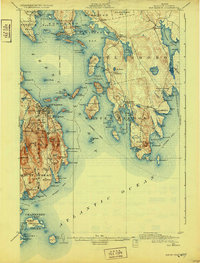
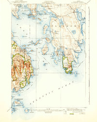
1904 Map of Bar Harbor
USGS Topo · Published 1932About this map
Bar Harbor and the surrounding islands of Frenchman Bay define this coastal survey, which shows the rugged maritime geography of Hancock County shortly after the turn of the century. The map documents a transition in transportation, showing the Mount Desert Ferry line connecting the mainland to Mount Desert Island, while several steamboat routes weave through the islands to Islesford and Sutton.
Find a feature on this map
149 named features on this map. Tap any name to fly to it.
Don’t see what you’re looking for? This feature index may not catch every label — zoom into the map to look around manually.
Map Details
Editions of this 1904 Bar Harbor Map
6 editions found
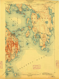
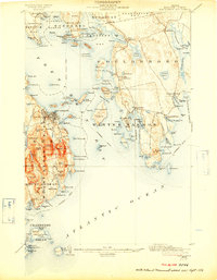
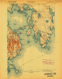
Other maps of this area

1902 · Cherryfield
USGS Topo · 1:62,500

1904 · Cherryfield
USGS Topo · 1:62,500

1904 · Mount Desert
USGS Topo · 1:62,500

1904 · Swan Island
USGS Topo · 1:62,500

1904 · Bar Harbor
USGS Topo · 1:62,500

1904 · Petit Manan
USGS Topo · 1:62,500

1911 · Ellsworth
USGS Topo · 1:62,500

1930 · Tunk Lake
USGS Topo · 1:48,000

1932 · Tunk Lake
USGS Topo · 1:62,500

1940 · Ellsworth
USGS Topo · 1:62,500