
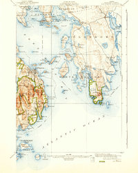
1904 Map of Bar Harbor
USGS Topo · Published 1904About this map
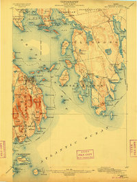
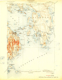
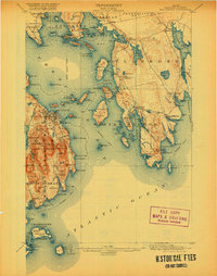
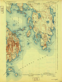
Frenchman Bay dominates this early century coastal survey, serving as the central maritime corridor between the mainland and Mount Desert island. At the turn of the century, the region's economy and social structure were defined by a network of maritime routes, including the Steamboat Route and the terminal rail connection at Mount Desert Ferry. This map captures the intricate coastline of the Schoodic Peninsula and the surrounding archipelagos, from the large Ironbound Island to the smaller Jordan Island and Stave Island.
Find a feature on this map
153 named features on this map. Tap any name to fly to it.
Don’t see what you’re looking for? This feature index may not catch every label — zoom into the map to look around manually.
Map Details
Editions of this 1904 Bar Harbor Map
6 editions found
Other maps of this area

1902 · Cherryfield
USGS Topo · 1:62,500

1904 · Cherryfield
USGS Topo · 1:62,500

1904 · Mount Desert
USGS Topo · 1:62,500

1904 · Swan Island
USGS Topo · 1:62,500

1904 · Petit Manan
USGS Topo · 1:62,500

1911 · Ellsworth
USGS Topo · 1:62,500

1930 · Tunk Lake
USGS Topo · 1:48,000

1932 · Tunk Lake
USGS Topo · 1:62,500

1940 · Ellsworth
USGS Topo · 1:62,500

1942 · Bar Harbor
USGS Topo · 1:62,500