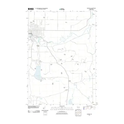
2010 Map of Baraboo
USGS Topo · Published 2010About this map
Baraboo serves as the central hub of this Wisconsin landscape, where the Baraboo River winds through a valley defined by the North Range and the Lower Narrows. The river's industrial past is visible through infrastructure like the Oak Street Dam and the Linen Mill Dam. To the south, Devils Lake State Park dominates the terrain, featuring the prominent West Bluff and East Bluff overlooking the water. This 2010 survey captures a region where recreation and local history intersect, evidenced by the numerous family and community burial grounds such as Walnut Hill Cemetery and Jones Cemetery. The map also details the complex topography of the Baraboo Hills, including named depressions and meadows like Feltz Basin and Roznos Meadow, and the Devils Head Ski Resort in the southeastern corner.
Find a feature on this map
71 named features on this map. Tap any name to fly to it.
Don’t see what you’re looking for? This feature index may not catch every label — zoom into the map to look around manually.
Map Details
Editions of this 2010 Baraboo Map
This is the sole edition of this map. No revisions or reprints were ever made.
Other maps of this area

1895 · Baraboo
USGS Topo · 1:62,500

1901 · Denzer
USGS Topo · 1:62,500

1901 · The Dells
USGS Topo · 1:62,500

1902 · Briggsville
USGS Topo · 1:62,500

1908 · Baraboo
USGS Topo · 1:62,500

1957 · Wisconsin Dells
USGS Topo · 1:62,500

1957 · Madison
USGS Topo · 1:250,000

1958 · Briggsville
USGS Topo · 1:62,500

1958 · North Freedom
USGS Topo · 1:62,500

1959 · Baraboo
USGS Topo · 1:62,500